|
Copyright John A. Sperr HRIYC.ORG July 31, 2013 Update from Downeast Maine
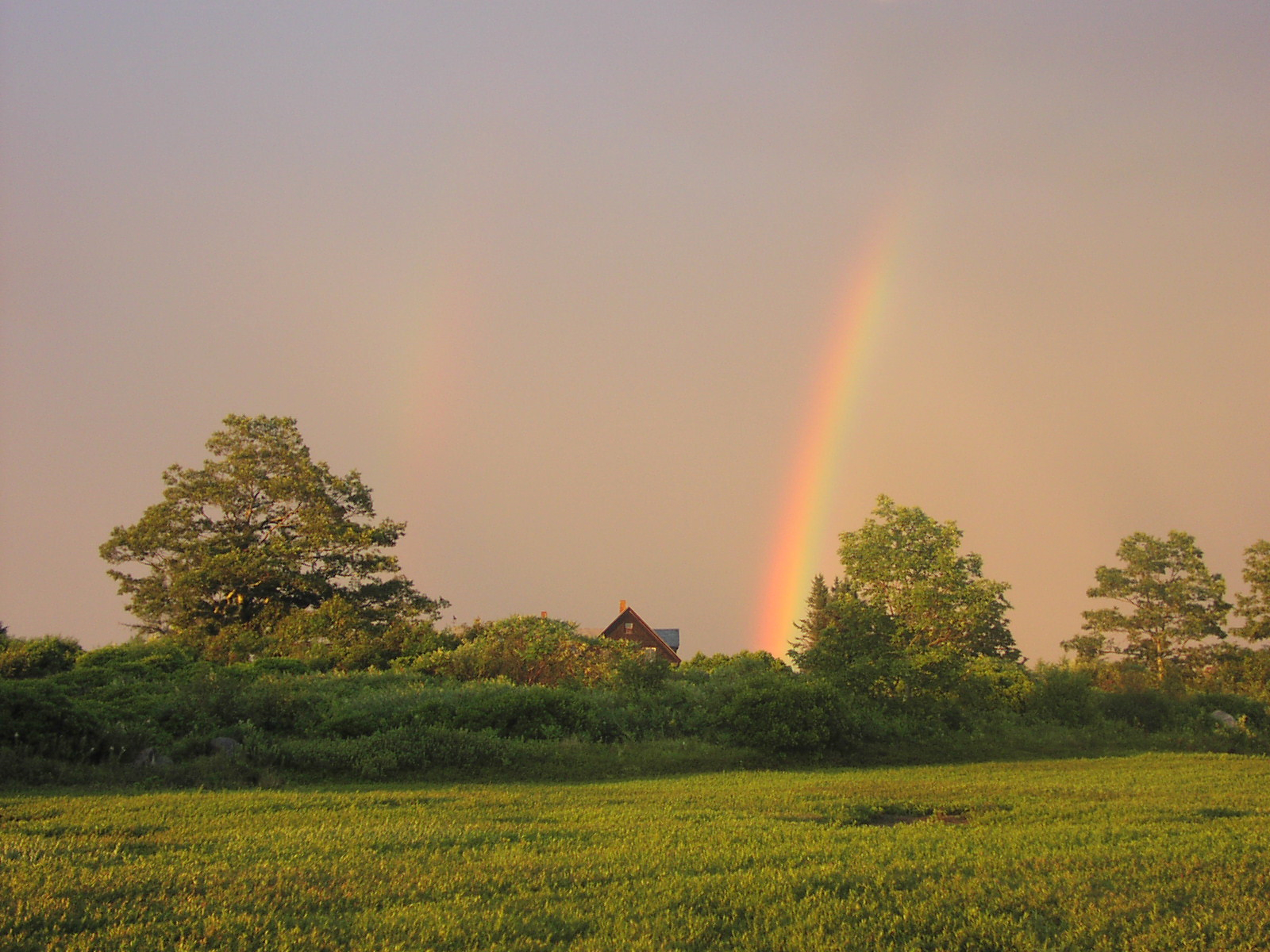
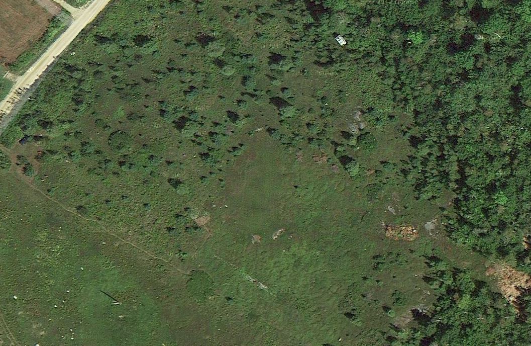
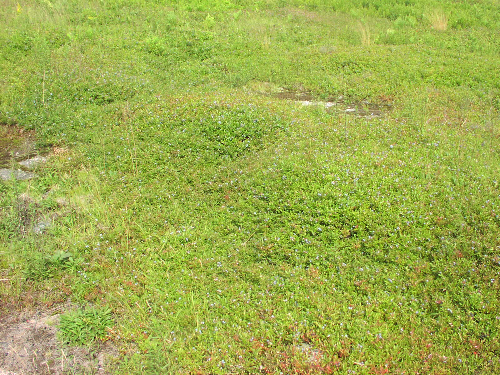
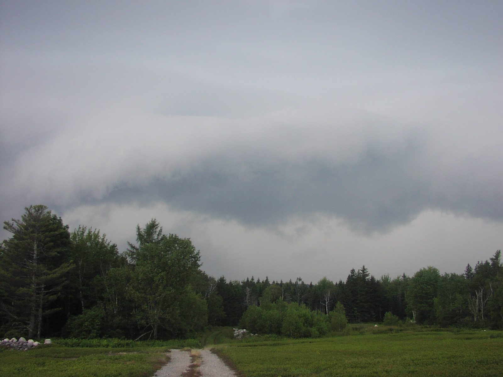
Google Maps released new aerial imagery of the Blue Hill Peninsula earlier
this spring and it is a major upgrade to what was previously
available. As I zoomed in to inspect it, I suddenly realized that I could
see what appeared to be my car at the top of the hill in the parking area (left middle margin). When I brought the same location up
in Google Earth, it's more powerful features and better zoom capability confirmed the date as
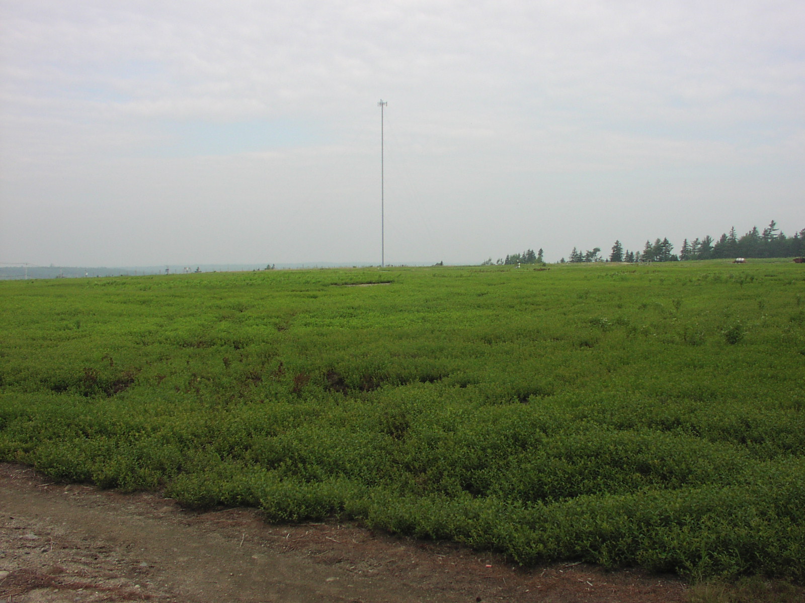
one when I was there working in our wild blueberry field and convinced me
that
I was indeed looking at my black Passat wagon. Eventually, I was able to
locate myself in the image. (If you want take up the challenge, here's a
kmz file for Google Earth -- let me know
where you think you have found me -- extra points, Ryan and Will, if you
can deduce the time of day ± 5 minutes that
the photo was taken.)
Iceboat Launch Site Maps & Directory for the Eastern
US
|
|
Trip Updates
Recent Photo Albums |
|
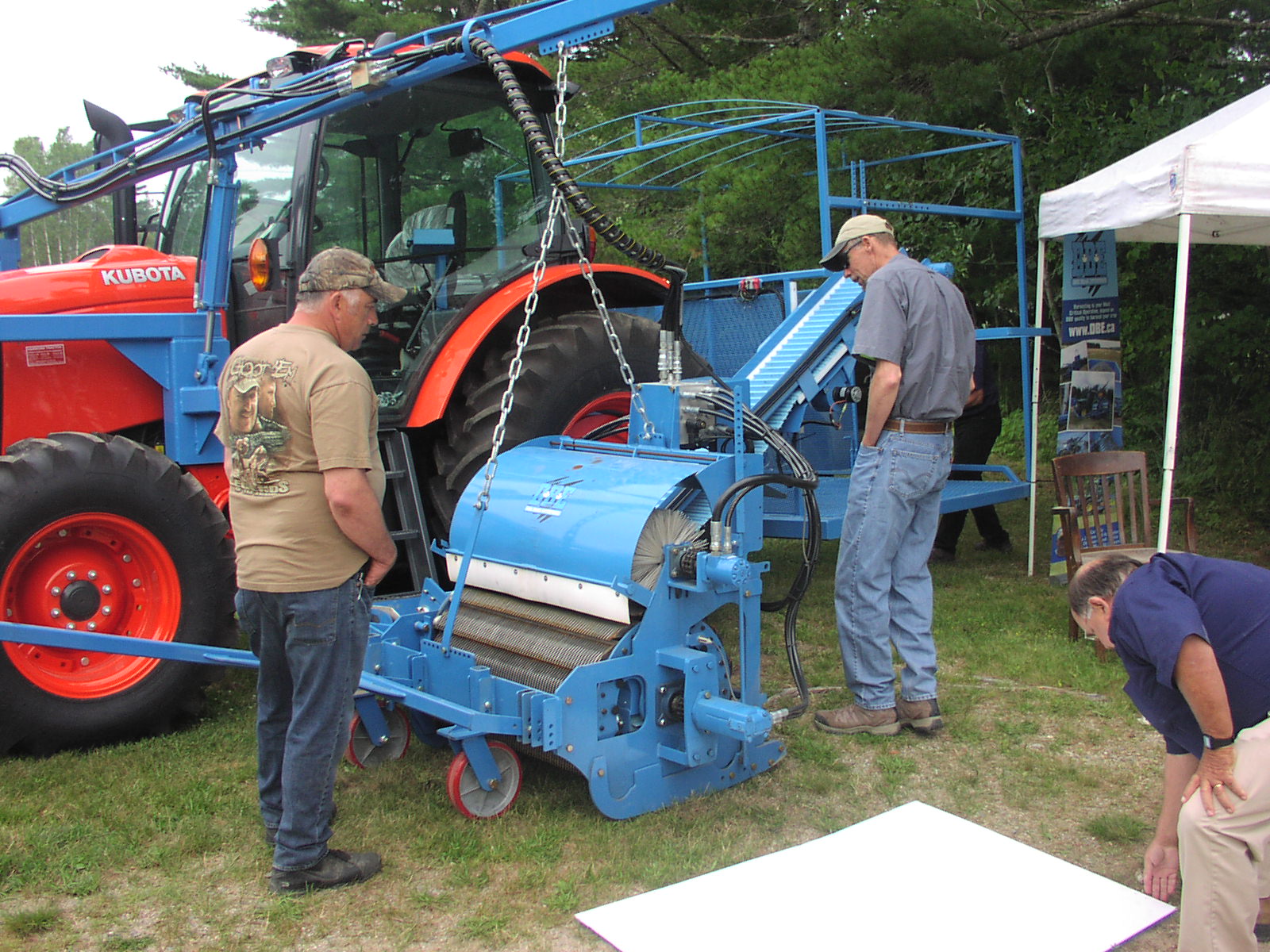 Brand new mechanical harvester at the annual blueberry
grower's field day meeting
Brand new mechanical harvester at the annual blueberry
grower's field day meeting
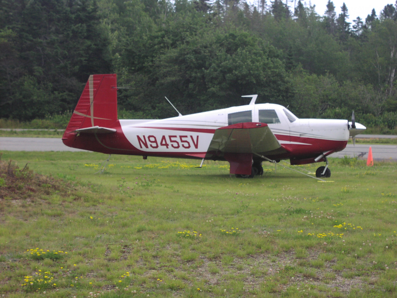 N9455V (Mooney M-20E) tied down at the Stonington, ME
airport
N9455V (Mooney M-20E) tied down at the Stonington, ME
airport

Links to Field Reports of Ice Conditions
IDNIYRA Ice Conditions Reports
Brakes On? ![]()
photo Copyright Brian Reid,
December 2002

|
HRIYC.ORG is neither the official website, nor am I the webmaster, of the Hudson River Ice Yacht Club. I am a long standing member of the Club and during the sailing season I frequently post photographs and information on this, my own personal website, about current iceboating activity in the Hudson Valley and beyond. I am the sole person responsible for the presentation of content and the opinions expressed herein. Interesting photographic contributions are welcome and appreciated -- I spend most of my time on the ice skippering and far too often fail to capture the best images the day has to offer. ©John A. Sperr MMXIII |