Copyright John A. Sperr

HRIYC.ORG

Thursday, December 15, 2011


First ice forming in South Tivoli Bay last weekend
 

Weather  Links

Iceboat Launch Site Maps & Directory for the Eastern US


Email John Sperr      On-the-Ice Cell # Request

home


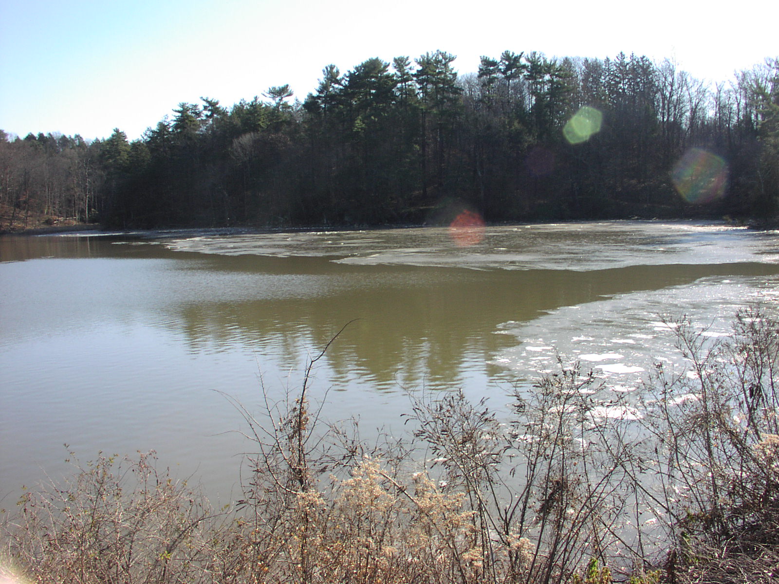
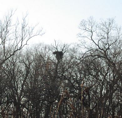
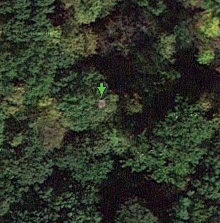
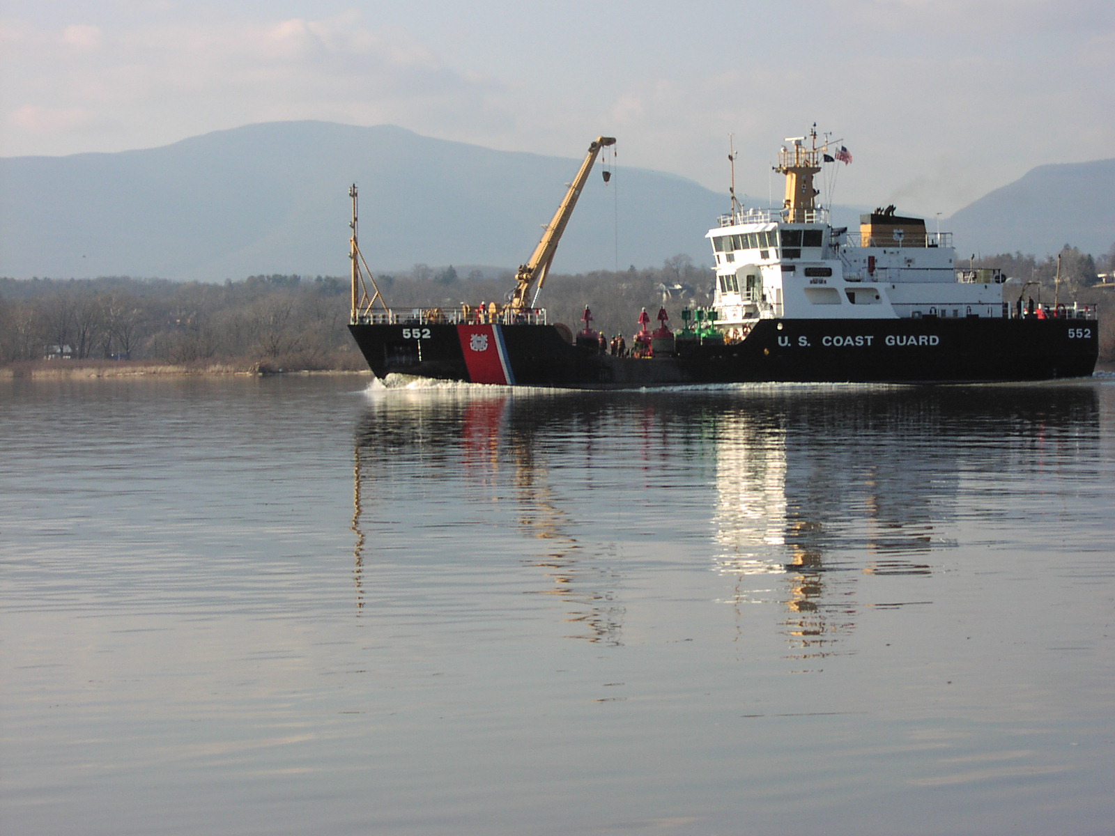
Merry Christmas and a Happy New Year to All.

No sailing news to report yet -- a warm fall has given us an ice free Hudson River and Tivoli Bay. The little ice that formed last weekend was quickly gone by mid week. Perhaps a weak system will swing through mid-week next, but the 10 day GFS and 31 day outlook animation show the cold air and freezing line remaining well to our north as we approach the New Year -- perhaps the weather will get interesting around January 5, 2012.

The new 2011 imagery from Google hit the servers in the past week. It's amazing how much better the resolution gets with every release -- you can now see the flotsam that blew in with Hurricane IRENE this summer in North and South Tivoli Bay -- even large nests in the tree canopy show up.

I made a few changes in the weather links. Check out the new Stevens Institute of Technology NYHOPS link -- it factors in the weather forecast when making tide height and river current forecasts so you can anticipate blow out and flooding tides -- Red Bank and Hudson River ice safety people may find this of particular interest.

Web Page Archives

Wreck of the Galatea Archive

October 2011 Archive          Early Summer 2011 Archive

May 2, 2011 Archive                    March 1, 2011 Archive

February 24, 2011 Archive     February 19, 2011 Archive

February 16, 2011 Archive     February 13, 2011 Archive


Current Jetstream Forecast and Surface Conditions -- Image by Environment Canada


A curious and quite friendly beaver in Tivoli Bay


NORD TRUST heading for the Port of Albany to pick up grain destined for Aruba


600 feet in length -- 13,000 hp direct drive single prop diesel  -- $16,000 per day to charter


USCG Buoy Tender WLM-552 KATHERINE WALKER setting winter ice buoys


Recent Photo Albums


Weather Links


Stevens Inst. SSWS & NYHOPS Zone Forecast Tivoli Bay 15 Image 5 Day GFS Forecast
Northern Hemisphere 850 Temp  Regional Summary -- NY, NJ, CT, MA 5 Image 2 Day Forecast Maps
USA Radar from Intellicast Jetstream 4 Panel Forecast Snow and Precip Type Forecast Loop
NE US Radar from Intellicast Jetstream Map -- Environment Canada Water Vapor Forecast Loop
Albany Storm Precipitation Totals SailFlow Wind Forecast for Kingston NY 3 - 7 Day US Hazards Outlook
Day 1 Quant Precip Forecast Map  Wind Speed and Direction Map 10 day GFS Forecast
Day 2 Quant Precip Forecast Map Northeast Wind Speed (Kts) & Streamlines 31 Frame Forecast Animation
Day 3 Quant Precip Forecast Map Northeast Temperature 5° F Contour Quantitative Precipitation Discussion

Links to Field Reports of Ice Conditions

IDNIYRA Ice Conditions Reports
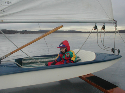
Saratoga Lake Ice Report

Yahoo Group  "IceReports"
 

Safety


Brakes On? 
photo Copyright Brian Reid, December 2002


Rules-of-the-Road

Email John Sperr

home