|
Copyright John A. Sperr HRIYC.ORG
Iceboat Launch Site Maps & Directory for the Eastern US
March 3, 2011 Archive March 1, 2011 Archive |
|
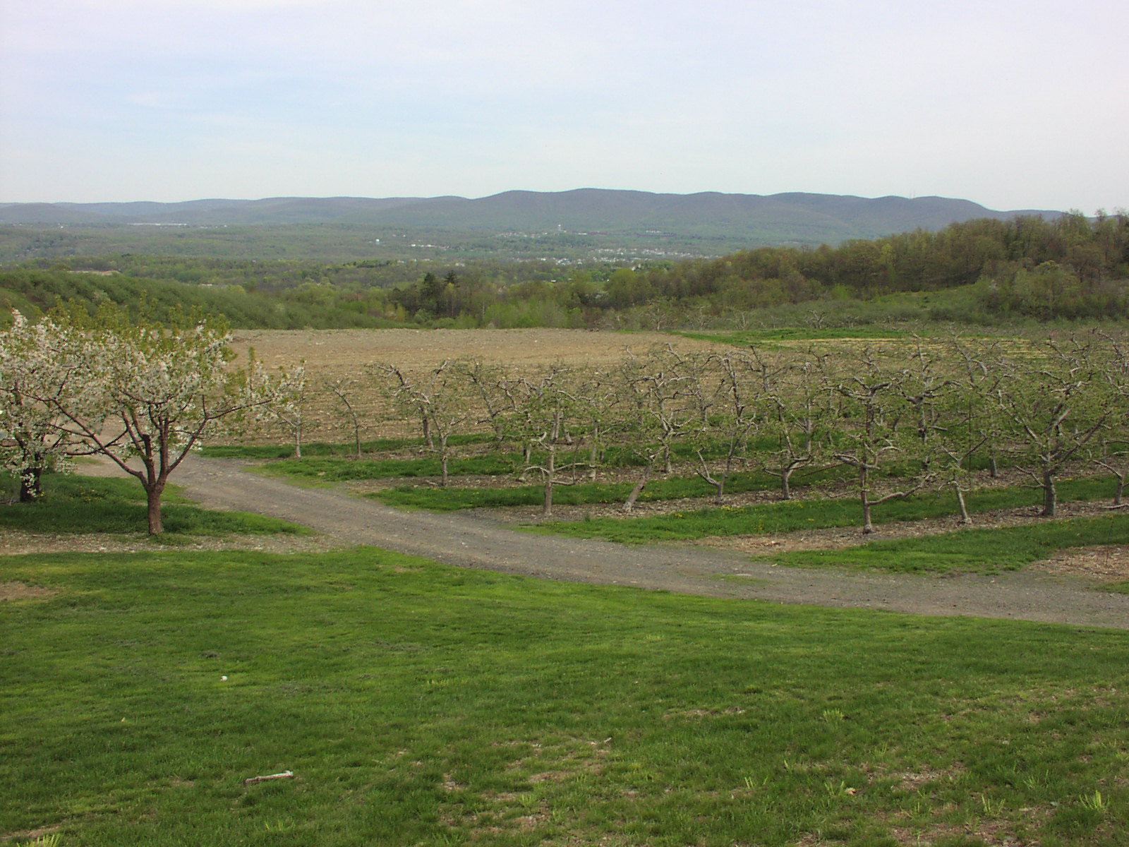
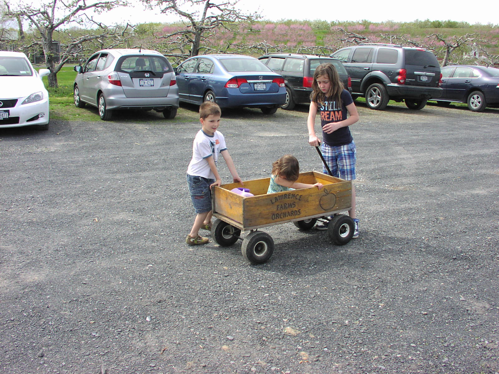
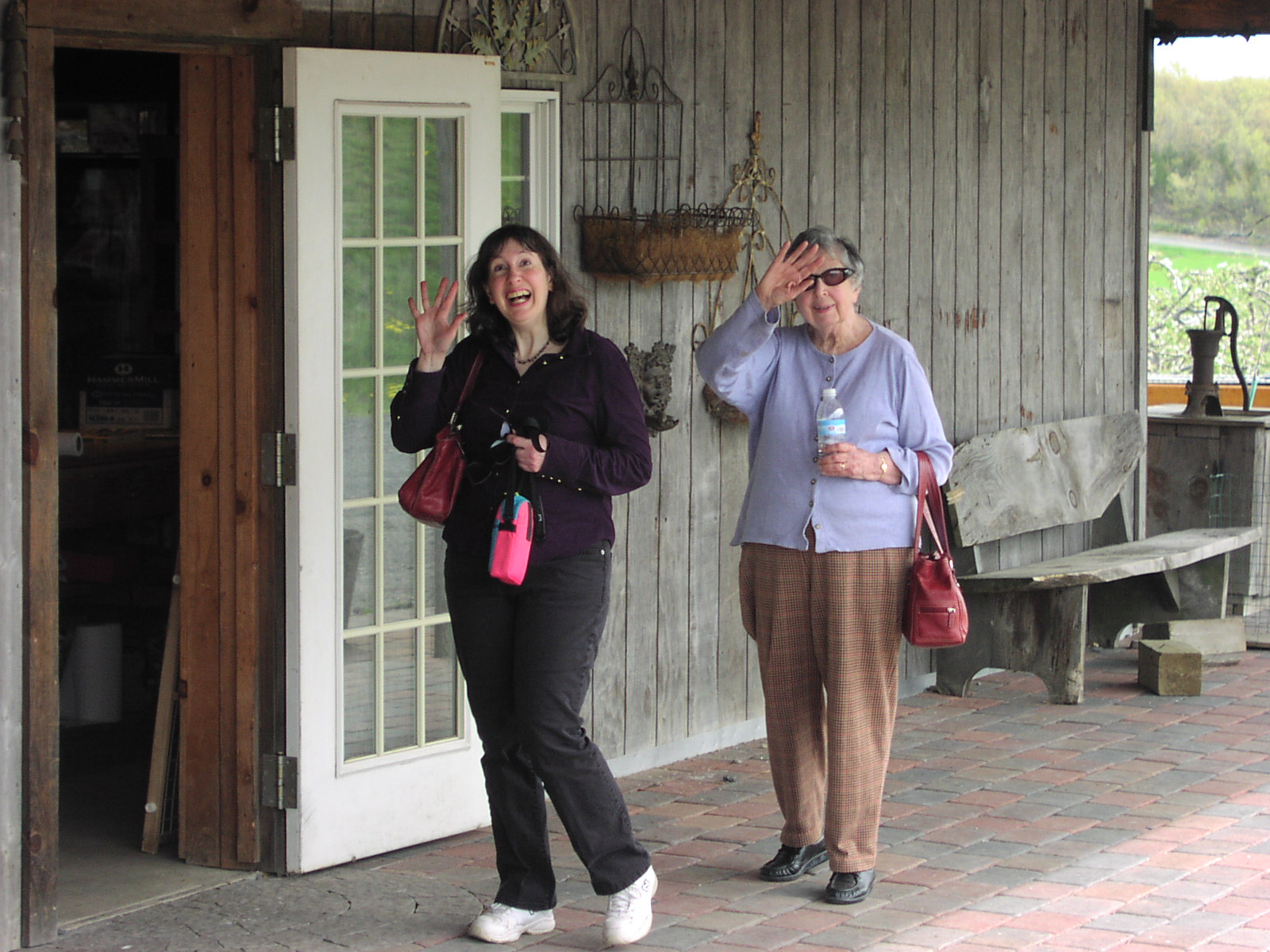
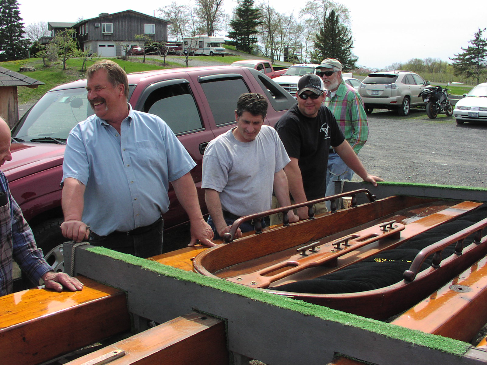
Hudson River Ice Yacht Club Annual Spring Dinner Lawrence Farm Frozen Ridge Road, Newburgh NY 12550 Sunday, May 1, 2011 1 - 4 pm Gourmet Pot Luck
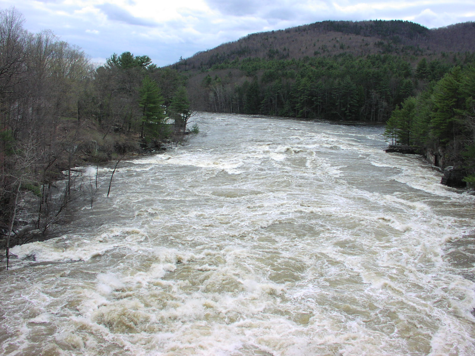
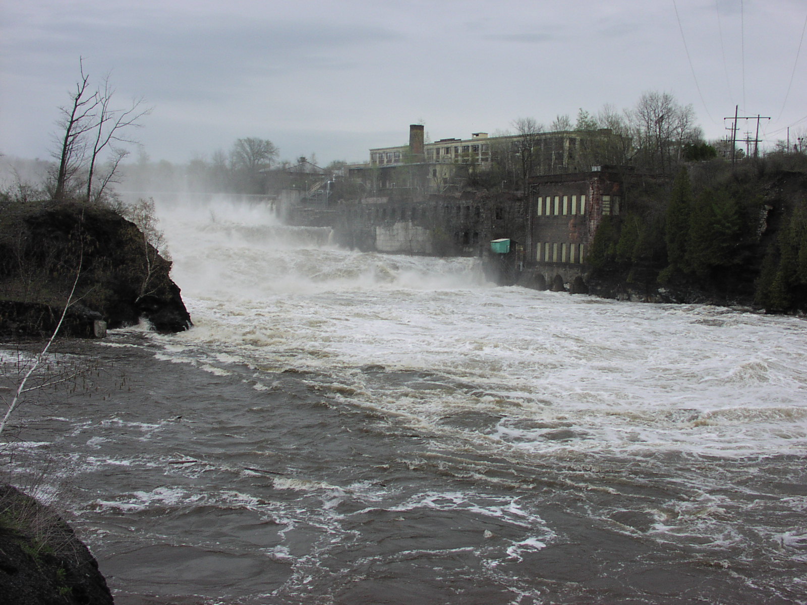
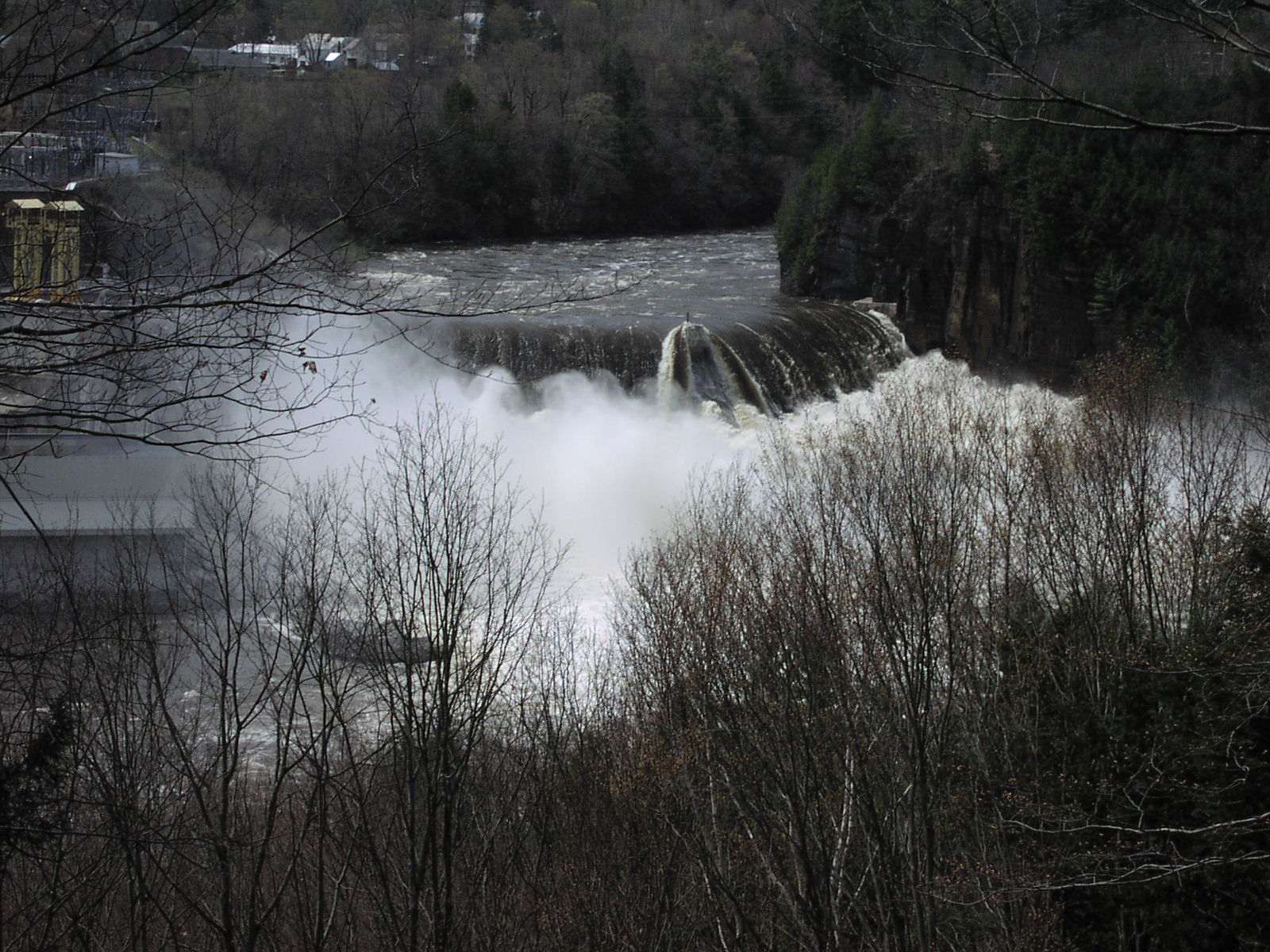
May 2, 2011 Flooding on the Upper Hudson Following a cold and snowy winter, the Adirondack snow pack was ripe for a historic meltdown last week as a chain of warm low pressure systems moved through the area with four inches of new rain. Combined with the snowmelt, the upper Hudson River saw some of the highest recorded water levels on April 29, 2011 since flood control measures were instituted on Sacandaga Lake in 1930 and Indian Lake in 1898. Water authorities seem loathe to proactively release water as it can mean lost revenue from hydroelectric sales or spilling water that might have been useful the following summer if there should be a sudden turn to drought conditions. At Conklingville Dam on the Sacandaga Reservoir, the gage crested at 774.5 feet, three and a half feet above the spillway elevation of 771.0 feet. This is pushing this discharge structure to the limit. There have been concerns about its integrity for years, but no one seems ready to open the valves before the water starts rising. More rain is in the forecast for this week, and it may be tested once again. Yesterday they opened the large "DOW" valves in the base of the dam. If the water level in the Hudson at Corinth continues to drop, they will open them even more tomorrow pushing the discharge rate to 15 - 20,000 cubic feet per second. If you like looking at this kind of rare sight, I urge you to get in you car and go see it, feel it, and hear it. The highway bridge shakes with the turbulence from the whirlpools that form in the inlet basin when these valves are open.
Further north, on the Indian River, the dam on Abanakee Lake was being topped by high waters and the side walls were starting to erode. While reports of it's collapse proved false, it was certainly a tense situation for emergency management officials who were on standby as far south as Fort Edward. Lake Champlain is recording it's highest level ever -- two feet above flood stage.
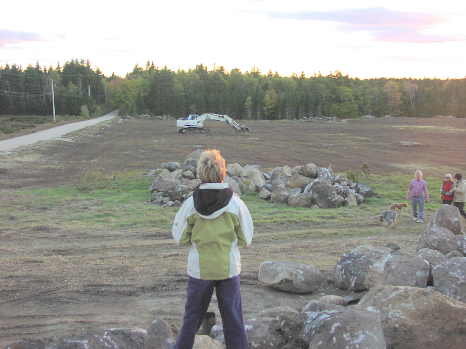
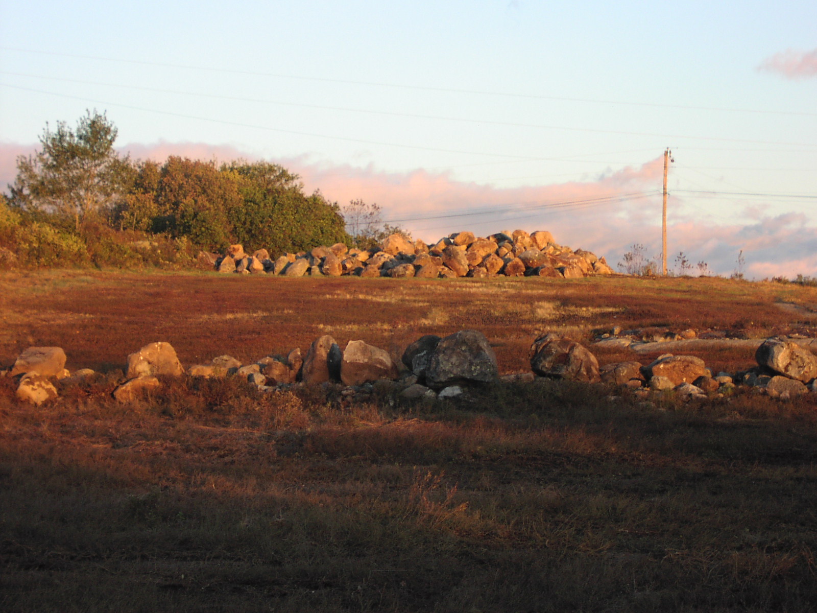
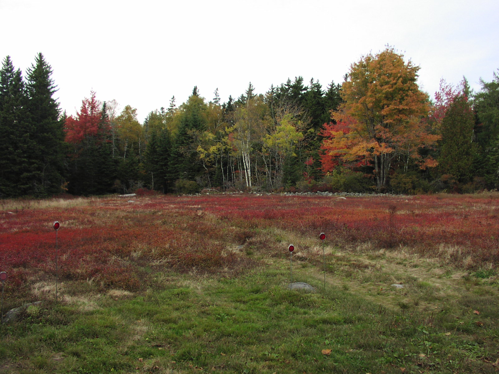
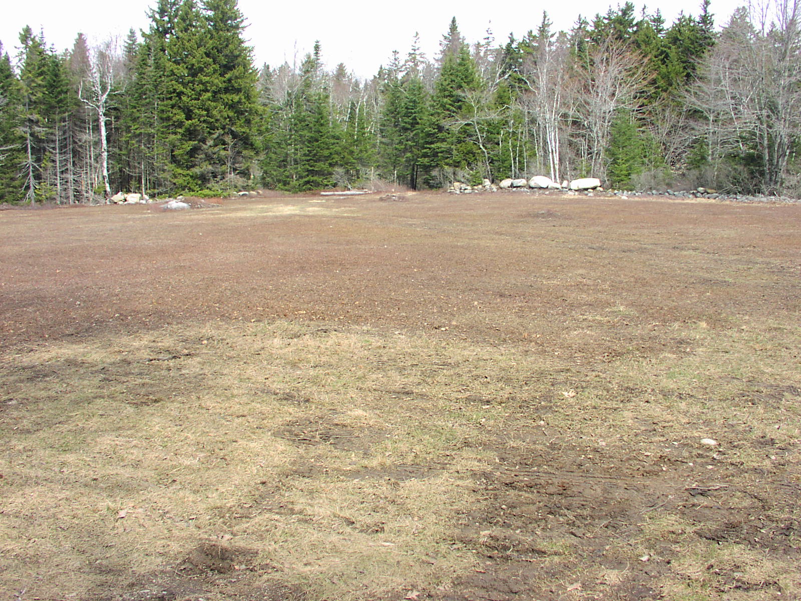
Wild Blueberry Farming in Maine Maine produces roughly 85 million pounds of wild blueberries every year. This is a highly managed and competitive agricultural business where producers are under constant pressure from Canadian growers (120 million pounds), damage from frost, poor weather during bloom, a shortage of bees for pollination, invasive grass species, disease, and the ever rising costs of production. In Sedgwick, Maine, I witnessed the conversion over the past two years of one of the better fields to the most modern cultural practices. The process begins with having the field "rocked" -- a giant tracked excavator with a grapple on the bucket worked over the entire field. Medium sized rocks are plucked from the surface and loaded on a truck or stacked in piles in the non-productive areas of the field. Rocks too large to lift are skidded across the surface of the ground. The bucket slides into and under an eight inch deep layer of every square foot of the field. The soil containing the blueberry plants and the growing mat of rhizomes (their "roots") is lifted free, gently replaced in the same location, and then patted down and smoothed over by the bucket. A skilled operator can do about one acre per day at a cost of a thousand dollars or more.
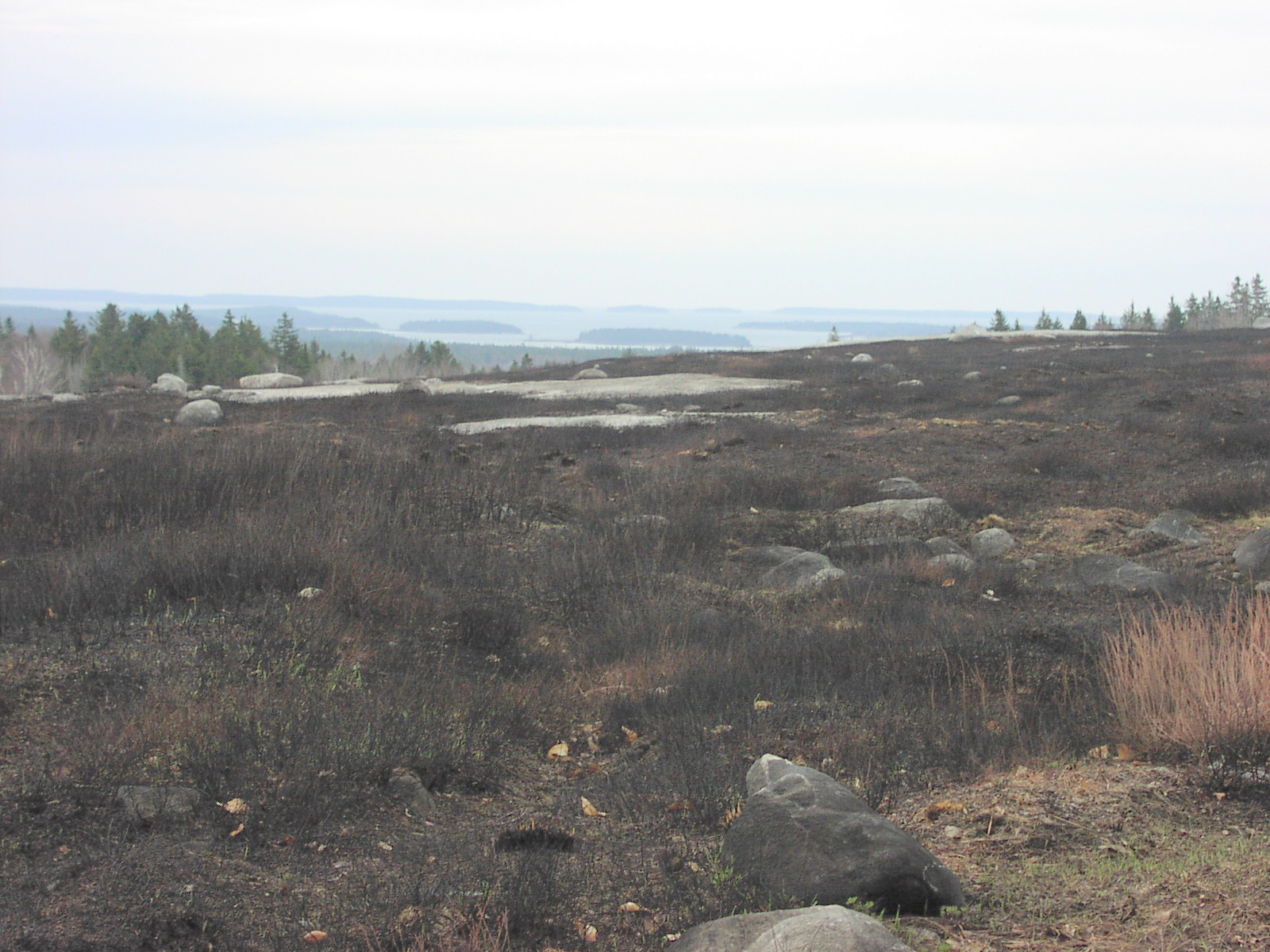
Burning the field is traditionally done every other year. After the crop is harvested, straw mulch is spread over the field. Come spring, under just the right conditions, the mulch is ignited with oil torches in a controlled burn to rid the field of weeds, fungus, and insects. Burning also prunes back the plants, so there is no crop during the season following the burn -- the plants get a year's rest and set new fruit buds for the following year.
To get away from the high cost of burning, mowing has been introduced as a way to prune the plants every other year. Removing the rocks and smoothing the surface makes it possible to run a gang of flail mowers across the field and trim the stems of the blueberry plants off at the surface of the soil. Still, burning is practiced every third cycle (every sixth year) to manage weeds and fungus.
|
Monday, April 25, 2011 Photo Mis-Identification In reviewing the monthly statistics for my web site, I see the "Ice Flight Photos" are the most often clicked on of the regular features linked from this page. I'm not sure why this is, but I suspect it is partly because of my penchant to point out both the obvious and subtle mistakes in the USCG Air Auxiliary's identification of these photos. Recently I came across a few other glaring examples of New York related photo mis-identification. Email solicitations have been coming my way recently from "Overlook Pointe", a new townhouse community being built in Fishkill, NY just east of the CSX Railroad corridor. If you click on the links to their website, up pops this lovely picture of the Hudson River in full fall foliage regalia. A great place to call home, right? Well, maybe -- but the picture was taken some 20 miles north of Fishkill and the new housing project. You can clearly see Esopus Island and Mount Saint Alphonsus -- the view is probably from the Vanderbilt Mansion. Do you want to grow grapes and make wine in New York? Cornell University's Professional Programs offers the potential newcomer to the business their "CUVEE" experience and glowingly writes on their web site: "Together, with the Central New York wine region as your classroom, ...during CUVEE, you will enjoy field trips to vibrant Finger Lakes vineyards..." One of the accompanying images displayed is a beautiful vineyard scene. My problem -- this is a picture of the vineyards of Burgundy, France -- nothing in the Finger Lakes or New York State even remotely rivals the scope, quality, and intensity of the viticulture portrayed in the photo. Ice Flight Photos Some nice pictures in the latest flight -- still a few errors -- time is running short on this mission. I think I'll compile those that I thought were the "best of the season" when the last flight has been flown or perhaps put together a handbook of aerial identification for next season's pilots. 2011-03-13 Ice Flight Photos 2011-03-02 Ice Flight Photos 2011-03-01 Ice Flight Photos 2011-02-27 Ice Flight Photos 2011-02-23 Ice Flight Photos 2011-02-17 Ice Flight Photos 2011-02-11 Ice Flight Photos 2011-02-09 Ice Flight Photos 2011-02-07 Ice Flight Photos 2011-02-06 Ice Flight Photos 2011-01-31 Ice Flight Photos 2011-01-26 Ice Flight Photos 2011-01-20 Ice Flight Photos 2011-01-17 Ice Flight Photos 2011-01-13 Ice Flight Photos 2011-01-10 Ice Flight Photos 2011-01-06 Ice Flight Photos 2011-01-04 Ice Flight Photos 2011-01-03 Ice Flight Photos 2011-01-02 Ice Flight Photos
Recent Photo Albums
|


Links to Field Reports of Ice Conditions
IDNIYRA Ice Conditions Reports
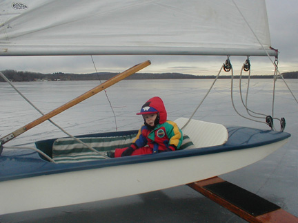
Brakes On? ![]()
photo Copyright Brian Reid,
December 2002
